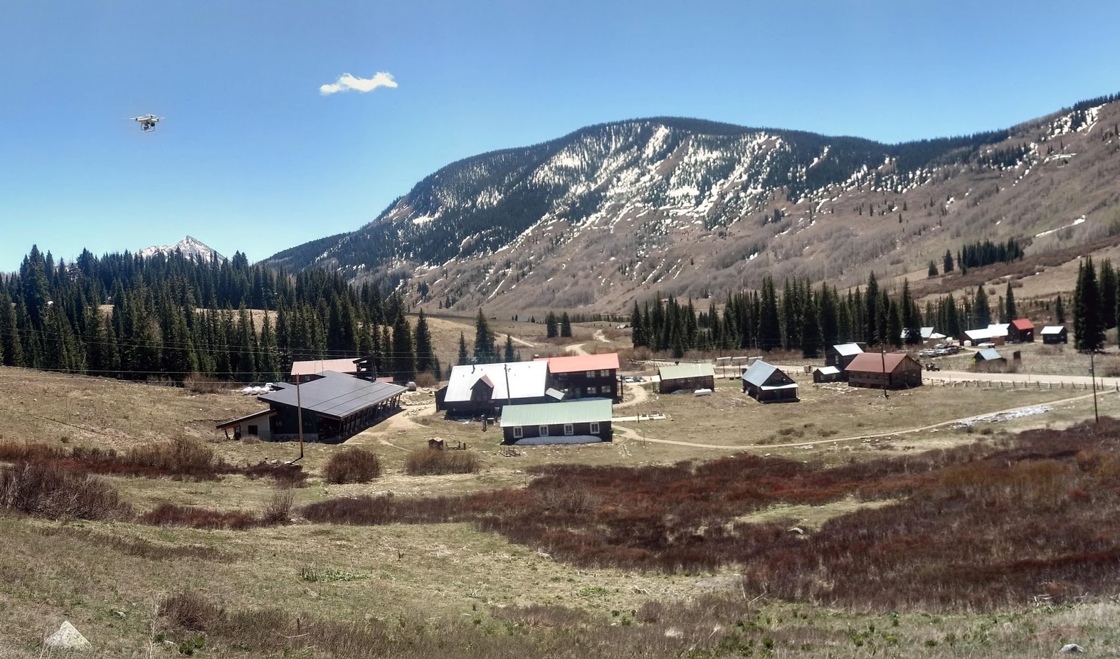
In June I led a half-day workshop on using drone imagery in field research at Rocky Mountain Biological Laboratory. The workshop was a ton of fun (I miss teaching!), and I decided to share the workshop materials here.
Preparation
Here’s what you need to take full advantage of the workshop materials:
A computer: A big part of the workshop is focused on transforming the imagery we get from drones into scientifically valid data, so you will need to bring a computer with you when you come so you can participate in the hands-on steps of the processing. A Windows, Mac, or Linux computer with ~1GB free storage space is fine.
Some software: You will need to install a few pieces of software for the interactive elements:
Agisoft Photoscan Professional. We will use this to process the drone imagery into maps and 3d models. This program is not free, but you can use the free “demo mode” for all of the steps that we will take in the workshop. There is also a free 30-day trial option.
QGIS, a free and open-source mapping/GIS program. We will use this to view and explore the maps we made with Photoscan. If you already have another GIS program like ArcGIS installed, that will work fine too.
Sample data: To follow along with the interactive sections, you will need to download files useful for flight planning as well as some sample imagery:
Full Resolution Imagery (For Fast Computers)
Reduced Resolution Imagery (For Slower Computers)
Workshop slides
Here are the slides I used for the presentation. Advance the slides using the arrow keys, and you can switch to fullscreen view by pressing ‘f’.